

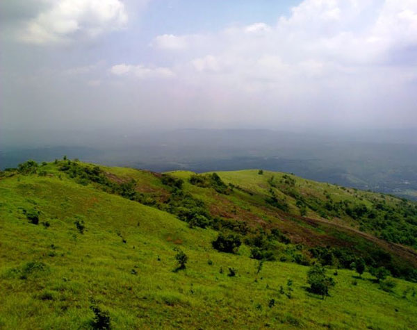
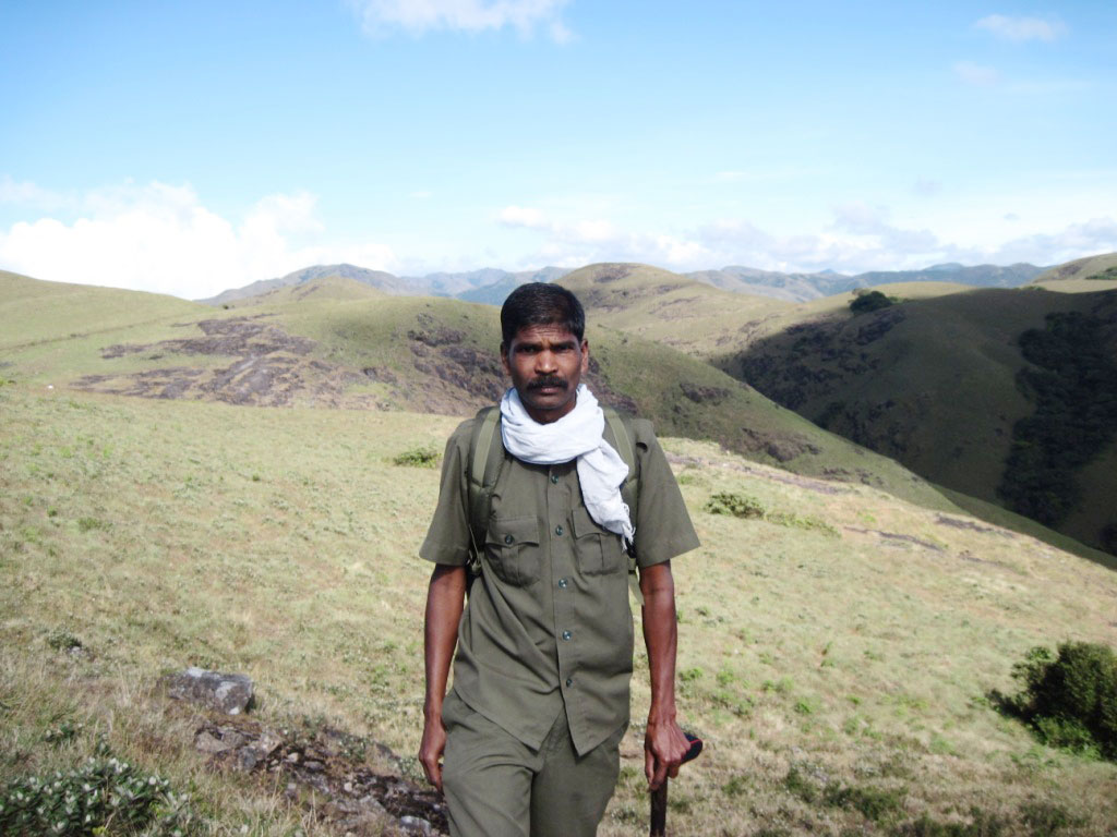
Silent Valley is located in the South-western corner of Nilgiris. The whole Park is a roughly rectangular tableland closed on all sides. It has high and continuous ridges along its entire east, north and northeast borders and a somewhat lower ridge along the entire western and southern border. Along its entire length, the plateau slopes toward the bed of Kunthipuzha, which divides it to two halves. The terrain is generally undulating with steep escarpments and many hillocks. The elevation ranges from 900 M to 2,300 M above MSL with the highest peak at 2,383 M (Anginda peak).
The terrain is generally undulating with steep escarpments and many hillocks. The elevation ranges from 900 M to 2,300 M above MSL with the highest peak at 2,383 M (Anginda peak). The area lies entirely on a plateau to the north of Mannarkkad, the outer slopes of the hills forming the tableland. The main basin of the Kunthipuzha, which runs from north to south and empties its waters into the Bharathapuzha, is covered by these forests.
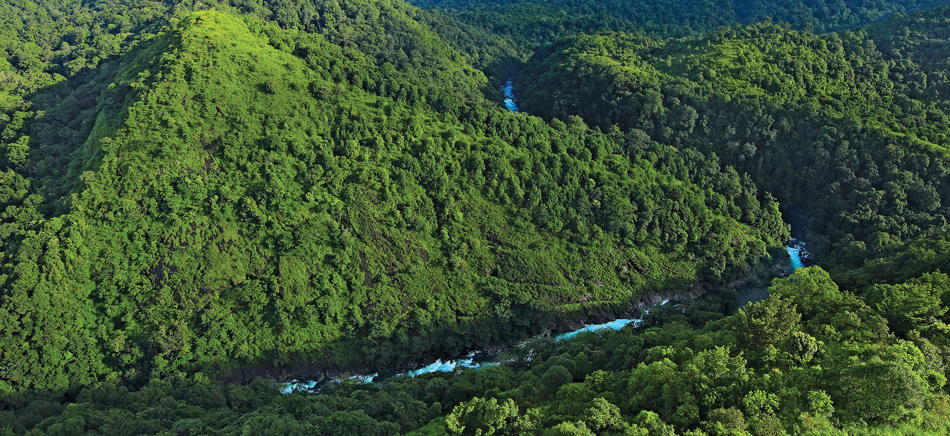
A perennial river named Kunthipuzha is passing through the western side of the park, from north to south direction finally merging in to Bharathapuzha. Main tributaries of this river are Kunthancholapuzha, Karingathodu, Madrimaranthode, Valiaparathodu and Kummathanthode. All major tributaries of Kunthipuzha originate on the upper slopes of the eastern side of the Valley. The streams from the western slopes are dry in summer.
The Bhavani River is a tributary of the Cauvery, one of the largest rivers in India. The river originates in Nilgiris, draining the south slope of the Nilgiri Hills. After flowing for a few kilometers southward it enters Kerala through a deep gorge and continues south for another 20 km, between two high, forested ridges till Mukkali. At Mukkali, Bhavani takes an abrupt 120° turn towards the northeast and flows for another 25 km through Attappady plateau and for 7 km. along the inter-State border.
There is considerable variation in climate due to change in elevation from plains to the Ghats where hills are drier and cooler; the plains are humid and hot. The prevailing winds are from the west and south west during the period April to September and from east during the period October to March. There are occasional thunder storms in April and May. Both the south west monsoon and the north eastern monsoon cause rains in this area. The major share, however, comes from the south west monsoon, which sets in during the first week of June. The heaviest rainfall is during the months of June, July, and August. The variation in the intensity of rainfall is observed across the area. An increase in rainfall is noticed as one goes from foot hills to the high ranges. The elevated hills on the western side of Silent Valley receive an average of 5045 mm of rain as recorded at Arthala at 1200 m elevation followed by Neelikkal receiving 4364 mm of rain at 1005 m elevation. At higher elevations, near Walakkad the rainfall even reaches up to 6500 mm. Average minimum temperature ranges from 8 oC to 14oC and average maximum temperature varies from 23 o C to 29 oC.
©2018 Silentvalley Powered By
Mobiz Innovations and Research Pvt.Ltd
